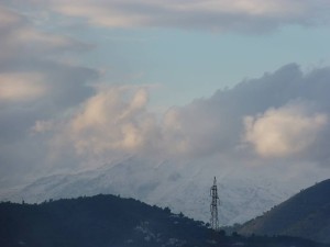
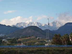
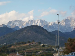
 Mucho thunder and lightning today, and more than enough rain. And definitely a lot cooler, to say the least. The hills now have a bit of snow on them, particularly Maroma in the distance. Hope it stays fine for the Carnival procession on Saturday and the Burial of the Chanquete on Sunday.


Will says:
Snow in Nerja !! Looks like the view I have often seen of the Welsh Hills which are frequently subject to the Snow.
Cant stand the stuff myself, but each to their own.
I hope it doesn’t make its way down to the coast, and remains a distant feature.
I Found a bit of web knowledge reference Mountain La Maroma
This mountain could have been the highest of the Málaga province if its summit would have been in that province. Nevertheless, the huge vertex, at 2.065 m, is just in Granada province, being, in fact, the western most peak rising over the 2.000 m of the whole south Spain.
La Maroma belongs to a small range known as “Sierra de Tejeda”, that joins in the south east a second range called “Sierra de Almijara”. Both mountain ranges are part of a Natural Park that runs in a NW-SE orientation, working as a geological barrier between Málaga and Granada. There are other peaks in the area, like Navachica (1.834 m, the second highest mountain of Málaga after Torrecilla), Cerro del Lucero (1.771 m), Cerro de Albucar (1.752 m) and El Cielo (1.501 m). This impressive chain of limestone and marble rocks rises among deep and wild gullies over the busy south Spanish coast, few kilometres away from its heights.
The Natural Park offers some kind of protection to the pine tree forests that grow on its slopes, and to different sort of species that live in these mountains too: wild goats, eagles, falcons and goshawks, among others.
On a clear day, one can see from the top of La Maroma as far as Sierra de las Nieves and Sierra Blanca to the west, the whole Sierra Nevada to the east and even Africa at the opposite shore of the Mediterranean Sea.
Getting There.
There are two main cities in the area: Málaga, approximately 40 km to the west, and Granada, at 50 km to the north east. Both cities have airport, but only Málaga offers international connections.
To reach the base of the mountain one can travel over the network of highways, national and secondary roads. This can be done with own vehicle or with a taxi. The main roads are:
* From Granada: highway direction Motril (old N 323) until Salobreña. Then driving 25 km direction Almuñecar, but taking a deviation to the right (north) to the villages of Jayena, Fornes, Arenas del Rey and Alhama de Granada. The road passes next to the dam of Bermejales.
You could also approach this mountain from the north coming from Granada, over the A-92 and take the exit to Alhama de Granada, from where you can drive further towards El Robledal, the start point of the northern route
* From Málaga: drive over the A-7, the highway of the coast, direction Motril. Take the exit to Vélez-Málaga and follow the secondary road nr. A 352 for about 8 km till the deviation (right) to the A 335. It is an ascending road to Canillas de Aceituno, Alcaucín, Sedella and Salares.
Note ! from author of this thread! – Never been to the mountain myself so cant say the directions are exact, but if you are going to try them and visit the mountain good luck, the pictures on the web of the surrounding areas look beautiful.